

We're about an hour away from a TOR watch being issued here....
Beautiful sunny day here. 90'F. And a cold front approaching from the West.
Second round of supercells reportedly possible BEHIND the front, around 10PM in DFW area. Kind of unusual.
If you're in North Texas, stay weather aware through midnight.
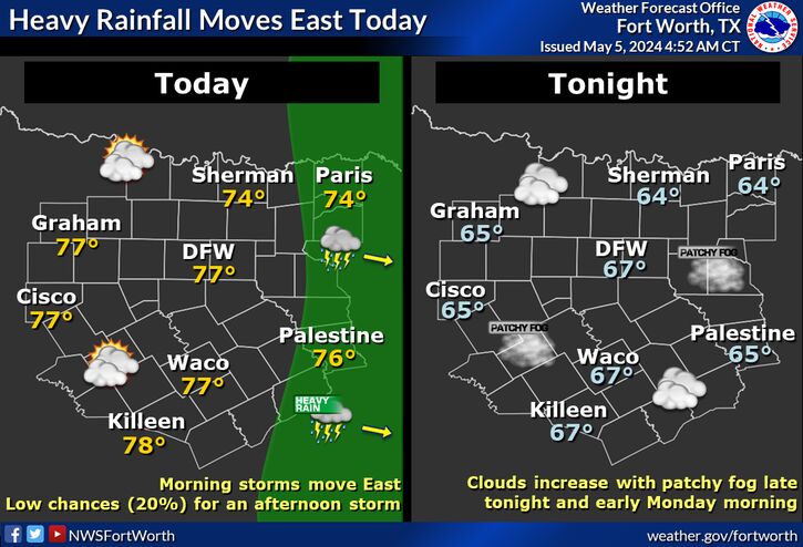
East TX might be in the bullseye through morning.... See graphicast link below.
Area Forecast
https://nwschat.weather.gov/p.php?pi...-FXUS64-AFDFWD
Graphicast: IIRC, this is a permalink to most current Graphicast.AN ATYPICAL SETUP THIS EVENING WILL ALSO LEAD TO A POTENTIAL FOR
SEVERE STORMS BEHIND THE FRONT. GIVEN CONTINUED STEEP LAPSE RATES
AND HIGH AMOUNTS OF INSTABILITY, A FEW ELEVATED SUPERCELLS CAPABLE
OF LARGE HAIL WILL BE POSSIBLE ACROSS NORTH TEXAS AFTER AROUND
10PM.
https://www.weather.gov/fwd/
ETA#2 Convection increasing.... weather geek stuff...
https://www.weather.gov/fwd/convecti...eters4panels#1
ETA #1: TOR Watch issued for N. Central TX
https://nwschat.weather.gov/vtec/#20...Q-202105032050

 Reply With Quote


